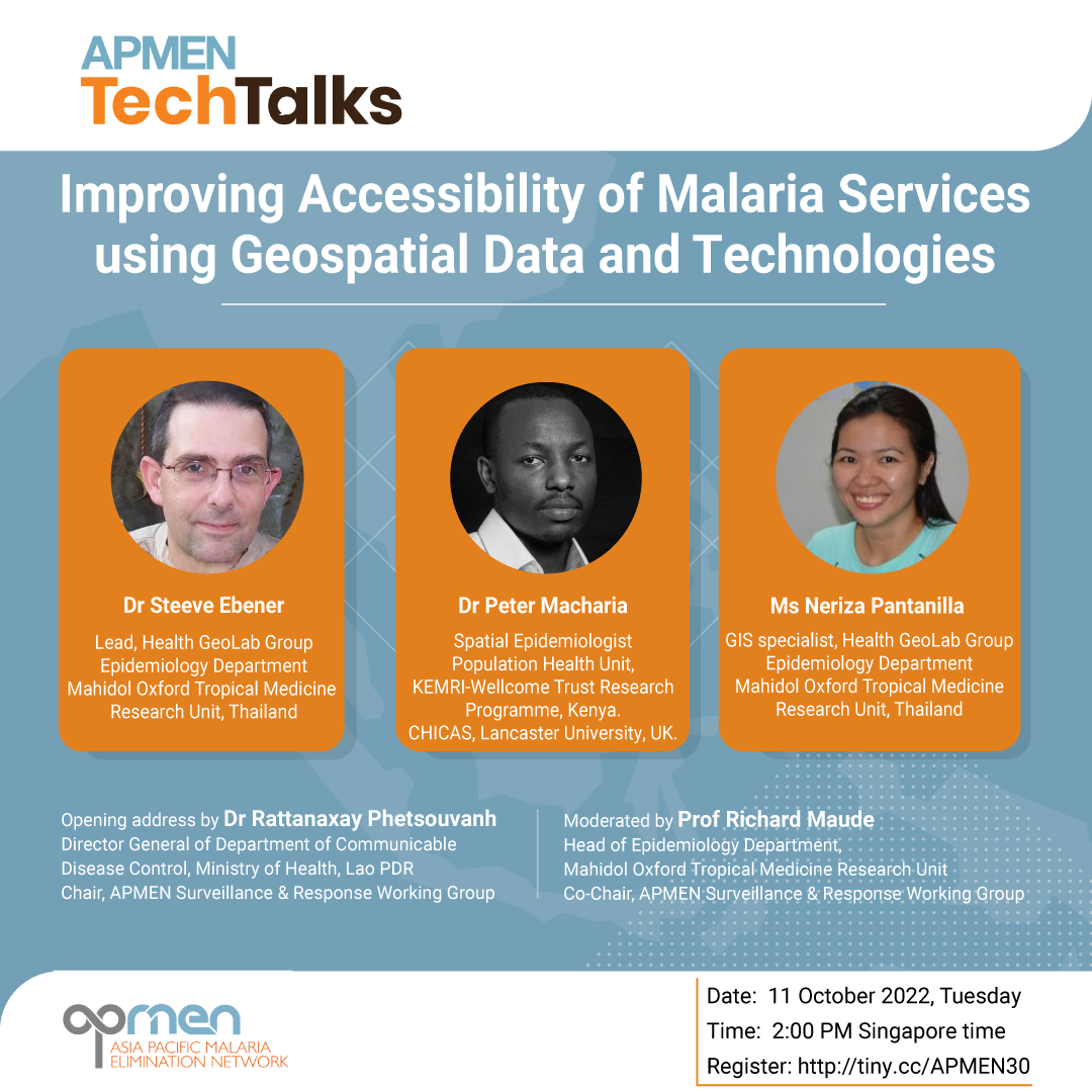
APMEN TechTalks webinar: Improving Accessibility of Malaria Services using Geospatial Data and Technologies
The Asia Pacific Malaria Elimination Network (APMEN) Vector Control Working Group is happy to invite you to their next TechTalk webinar on “Improving Accessibility of Malaria Services using Geospatial Data and Technologies“.
Prompt access to effective treatment is central to the fight against malaria and consequently, for achieving regional elimination. Generally, access to healthcare can be described along four dimensions: geographic accessibility, availability, financial accessibility and acceptability. The analysis of geographic or spatial coverage of services, which combines measures of geographic accessibility with availability, is increasingly used to guide health facility placement or optimizing the deployment of community health workers. However, applications for designing & targeting malaria interventions are still emerging. This TechTalks webinar will introduce the use of geo-spatial data for improving physical accessibility to malaria services with case examples from applications in Africa.
Date: Tuesday, October 11, 2022.
Time: 2:00 pm Singapore Time (GMT + 8).
Speakers:
- Dr Rattanaxay Phetsouvanh, Director General of Department of Communicable Disease Control, Ministry of Health, Lao PDR
- Dr Steeve Ebener, Lead, Health GeoLab Group, Epidemiology Department, Mahidol Oxford Tropical Medicine Research Unit, Thailand
- Dr Peter Macharia, Spatial Epidemiologist, Population Health Unit, Kenya Medical Research Institute – Wellcome Trust Research Programme
- Ms Izay Pantanilla, GIS specialist, Health GeoLab Group, Epidemiology Department, Mahidol Oxford Tropical Medicine Research Unit, Thailand
Moderator:
- Prof Richard J Maude, Head of Epidemiology Department, Mahidol Oxford Tropical Medicine Research Unit.
If you’d like to attend, please register at this link.